If the opening of the Empire State Trail wasn’t reason enough to be excited, there are new trails that connect to the Erie Canalway Trail that are coming online – both in the planning process and being completed and opened to the public – across the state. Here are some updates on two of them.
Albany South-End Connector:
In Albany, the eastern end of the Erie Canalway Trail can be found in the city’s riverfront park, known as Corning Preserve. The trail continues to the south, to where Broadway meets Quay Street – where the U.S.S. Slater is normally docked (it’s down in Staten Island getting it’s mast restored in summer 2020).
Since 2011, Albany residents have also been able to enjoy the Albany County Helderberg-Hudson Rail Trail – a delightful trail to go along with the lengthy name. The ACHHRT runs almost nine miles from South Pearl Street in Albany up to the village of Voorheesville, passing through communities such as Bethlehem, Delmar, Elsmere and New Scotland along the way.
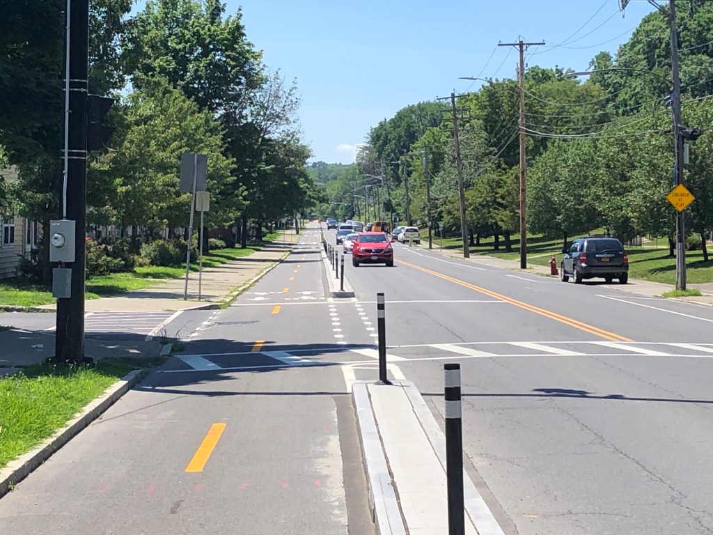
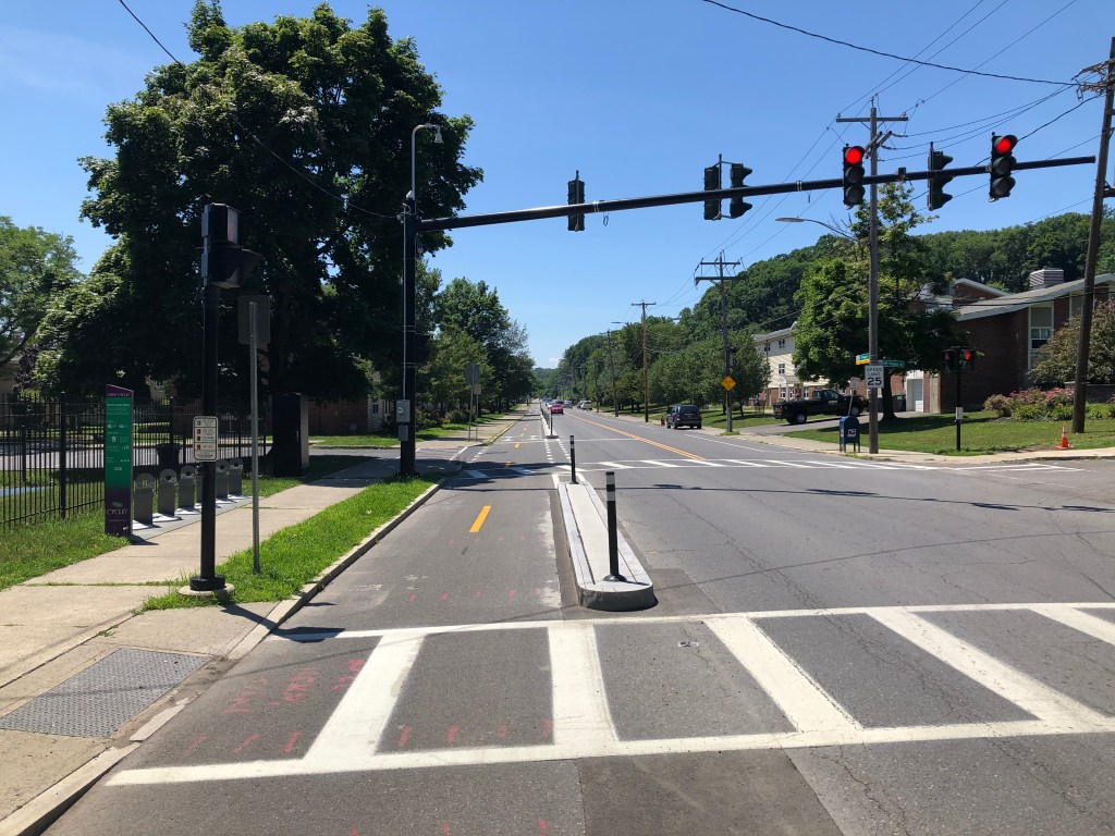
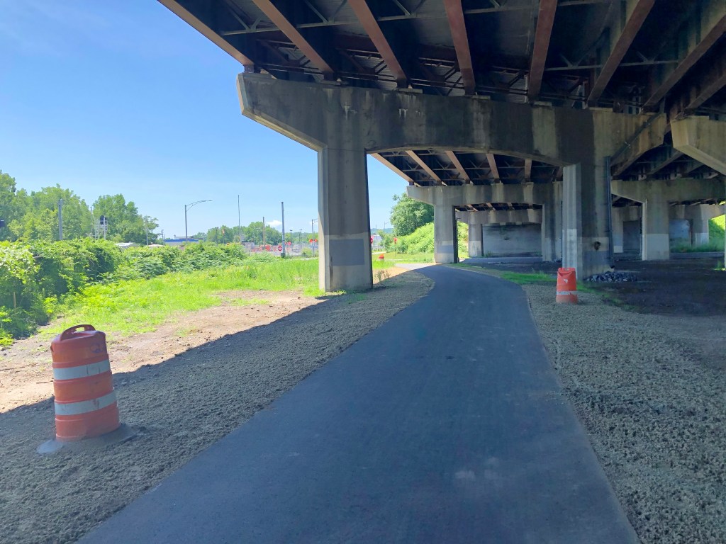
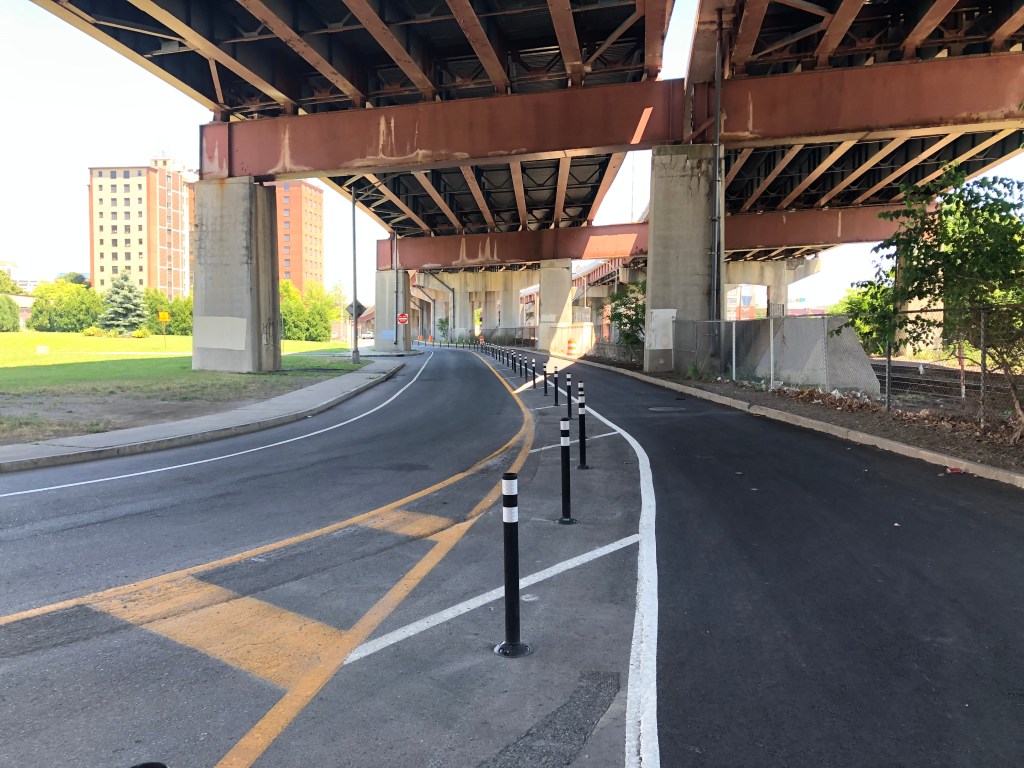
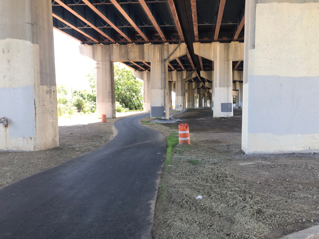
However, these two trails that were so close to one another were nonetheless left with a one and a half mile gap between the two that required riding on road through Albany’s Historic Pastures and South End neighborhoods. That is, until this summer, when the long awaited Albany South-End Connector opened to the public.
The new trail provides a seamless off-road connection between the two existing trails, running underneath Interstate 787 and on dedicated, protected lanes alongside an access road and South Pearl Street. There are also CDPHP Cycle! bike share docks located at various points along the trail – although they’re often empty, because the bikes are so popular! While the trail has an unfinished feel to it today, there plans for a Phase 2 of the project that will spruce up the highway underpass area by relying on residents and visitors to use their imaginations to propose ideas for making this area more attractive and for amenities that would make their experience more enjoyable.


Onondaga Creekwalk Phase 2, Syracuse
The crossing of Onondaga Creek by the Erie Canal was the impetus for the founding of the City of Syracuse. However, over the years, the meandering course of the creek was channelized and straightened over decades of development. The Onondaga Creekwalk was initially proposed in 1979, and Phase I runs from Armory Square north to the mouth of the creek at Onondaga Lake. New stretches of trail to be built as part of the Empire State Trail’s investment in the area will allow the Onondaga Creekwalk to be used as part of the Erie Canalway/Empire State Trail, from Hiawatha Boulevard to South Franklin Street. The Creekwalk continues south to Armory Square, where travelers can access MoST (the Museum of Science and Technology), and the surrounding area’s vibrant scene of bars and restaurants.
Until this year, the Creekwalk ended at Armory Square. Phase 2, which has been six years in the making, now extends the urban trail an additional 2.2 miles to the south. The newly opened stretch of trail connects Kirk Park, Lower Onondaga Park and the Southside and Near West Side neighborhoods with downtown by way of a safe, enjoyable paved trail.
In most areas, the trail is a stand-alone 13-foot wide paved and lighted trail. On West Street, the existing bike lane has been upgraded and new sidewalks installed. South of West Street, the trail winds along Onondaga Creek through several large greenspaces and ends at Kirk Park. Through Kirk Park, the trail highlights the park’s beauty and has long open views of Onondaga Creek. Access to the Creekwalk is by foot, bike or a new parking lot at Hunt Avenue.
Photos courtesy of the City of Syracuse


